Royal Arch via “Sentinel Ridge”
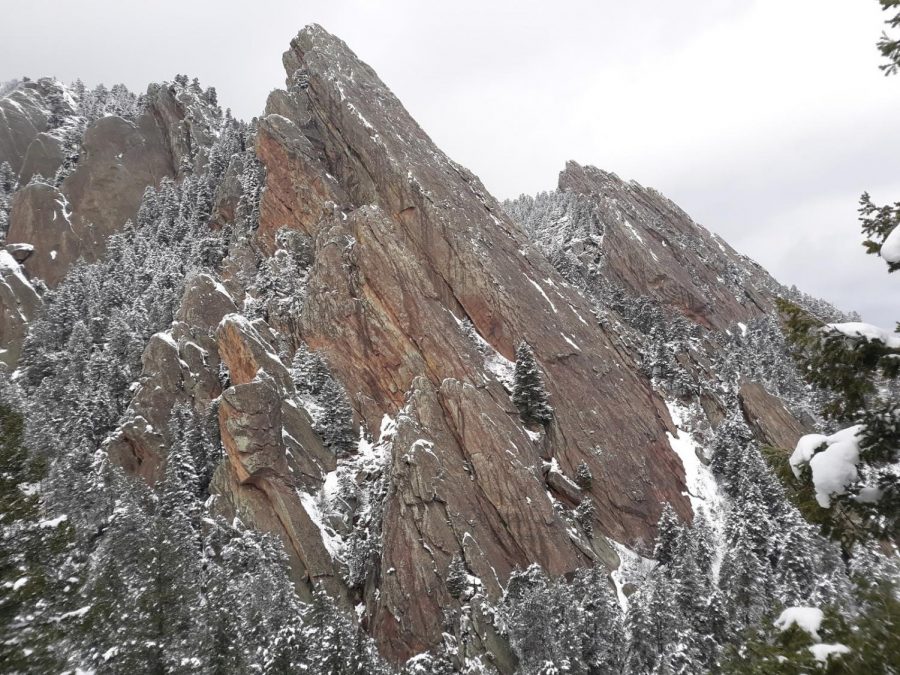
The Third Flatiron from “Sentinel Ridge”.
May 4, 2021
The Royal Arch hike in Chautauqua is a Boulder staple, combining decent difficulty with spectacular views. With this being said, there are variations to this hike that can be taken. The “trail” described below is one of these variations. The route described below is not official, and may require scrambling at some times. Do not attempt this variation without a decent amount of route-finding experience, as there is no trail. With that being said, let’s get into it.
Begin the hike by following the normal Royal Arch Trail. Follow the signs from Chautauqua and go up the Bluebell Road. Continue on this road for about half a mile, with splendid views of the Boulder Skyline.
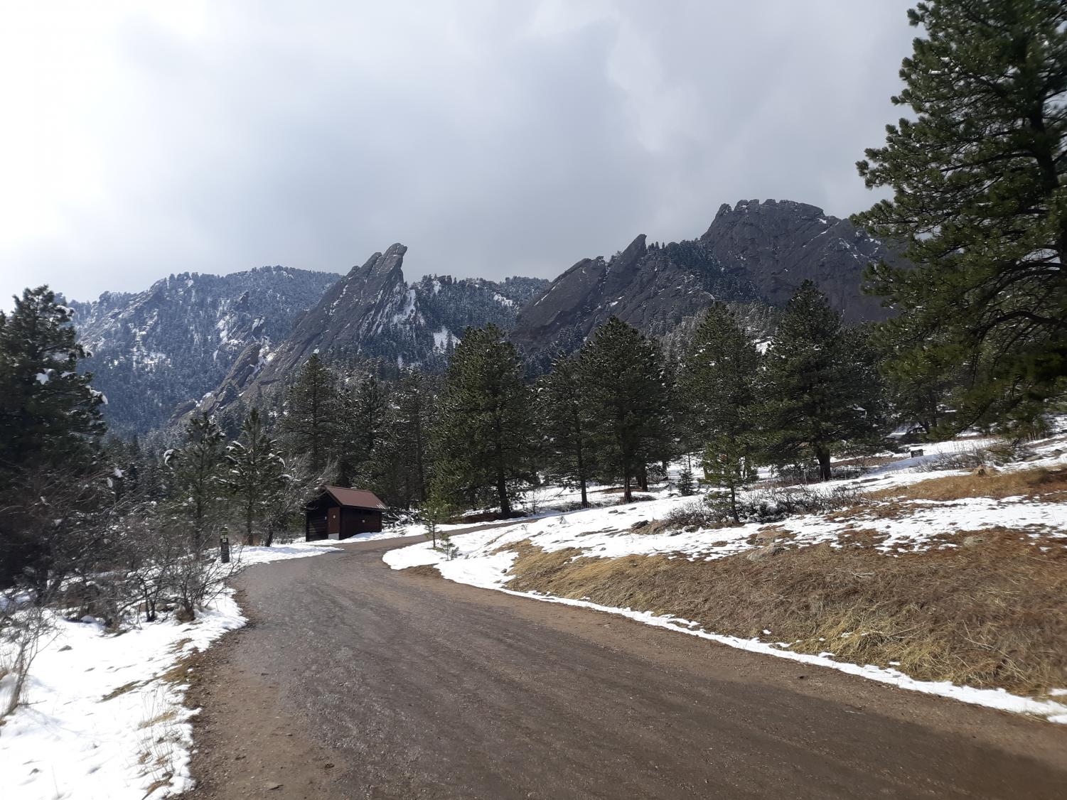
Upon reaching the Bluebell Shelter, follow signs for the Royal Arch Trail, which continues up into the mountains and into Bluebell Canyon. This section of trail can be sketchy in the winter, as trail runners and hikers alike crush the powdery snow into slick ice over the course of the winter months. Crampons are almost a requirement, as they provide a level of safety above what normal microspikes can offer.
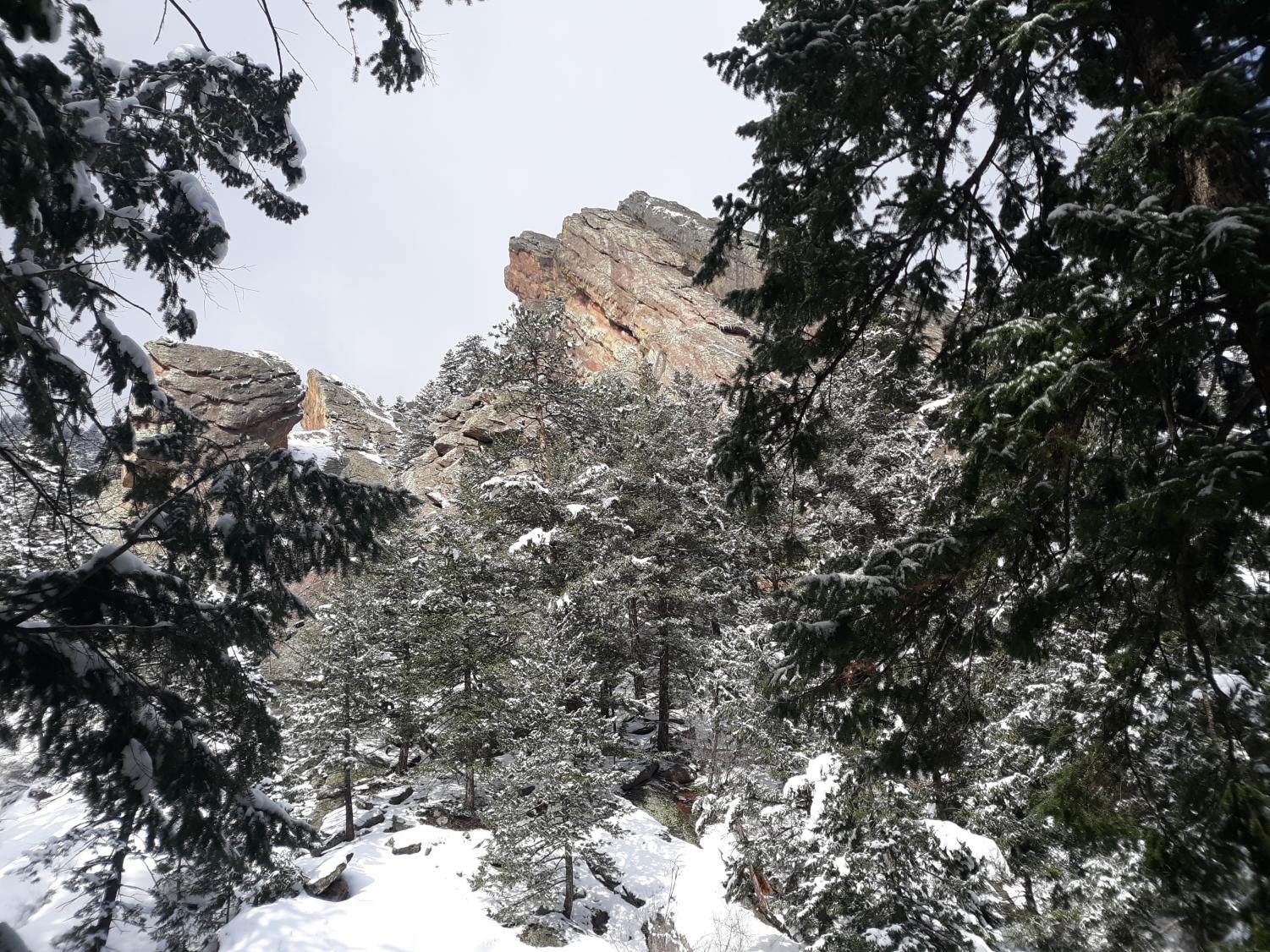
After climbing out of Bluebell Canyon temporarily, a large boulder field will appear on the left of the hiker. The main trail continues to the right; you’re going to go left. Pick through the boulder field with care, as there are hidden holes in between the boulders which can cause a sprained ankle if not handled with care. Head up towards the ridge in front of you, aiming for it’s crest; this ridge does not hold a name, but due to its intersection with Sentinel Pass, I have dubbed it “Sentinel Ridge”. When you are about halfway through the boulder field, aim for the leftmost section of ridge, and find a break in it’s rocky crest. This is where scrambling is required; if you don’t have prior knowledge of scrambling, it’s best to turn around here and go back to the main trail. Climbing up through this rocky section, the beauty of the sandstone found within the flatirons is apparent. However, there is another hugely noticeable change; the plantlife overgrows the ridge, covering everything. This plant life is beautiful, and is a natural part of the ecosystem, but one plant in this array of flora wishes to harm hikers trying to pass over the crest of the ridge: poison ivy.
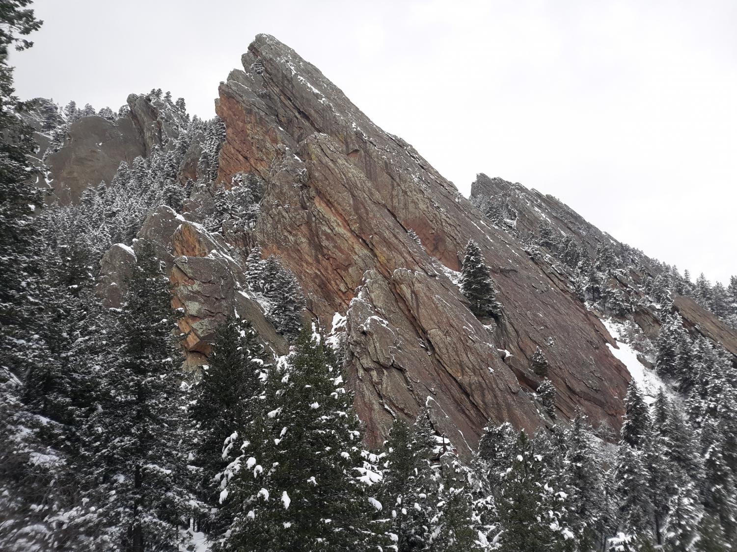
Poison ivy is truly annoying, as it is found everywhere along this route. This makes sense, as the ridge does form the rim of Bluebell Canyon, but it nevertheless creates an obstacle when attempting to hike in the area. However, the route is still clearable with some decent footwork and a careful eye. Finally, after scrambling up the front face of the ridge and on to the top of it, you are awarded; one of the best views of the Third Flatiron found within the entirety of Boulder awaits. The scale of the massive slab of sandstone cannot be underestimated, as its complex, multi structured layering comes into view. The ridge continues on from here, as it winds alongside the deep Bluebell Canyon. Careful route-finding should be used here, as rock outcroppings sometimes appear to block the way. Small downclimbing, about 5-10 feet in places, may be required in order to progress further along the ridge and to bypass these outcroppings. Continue to follow the ridge crest as it weaves its way through the spires of sandstone characteristic of the flatirons, until the ridge meets up with the main trail again at Sentinel Pass. From here it’s a short, 15 minute jaunt over to the Royal Arch, which affords spectacular views of the entire Boulder area and even gives a view of nearby Fairview High School.
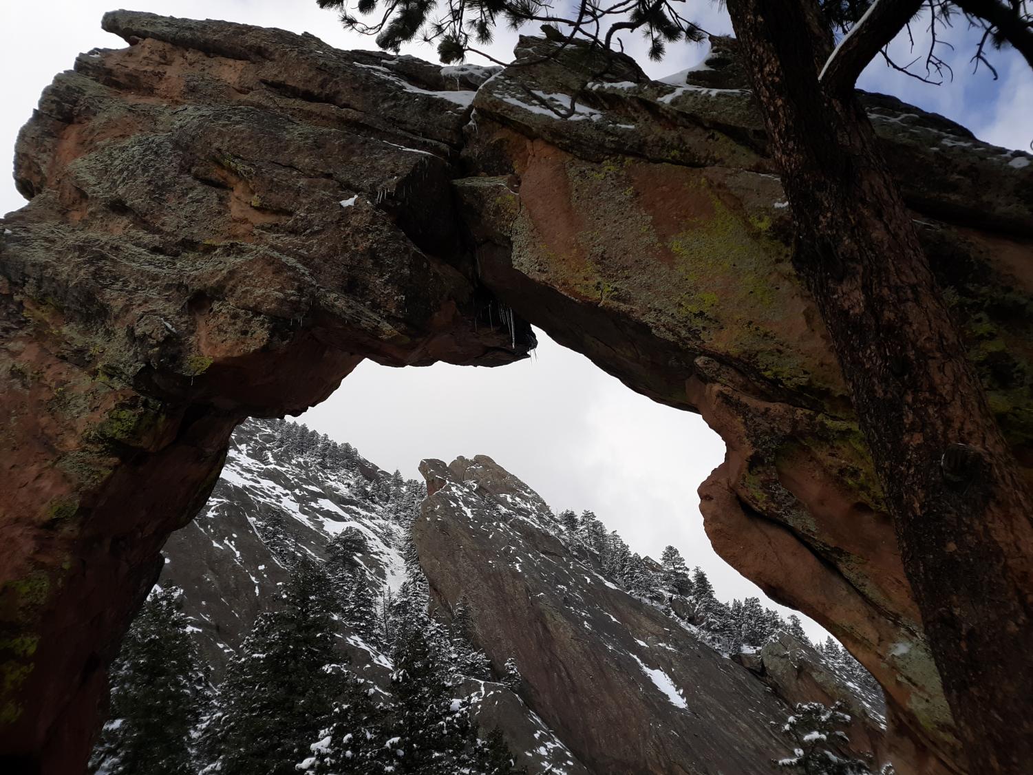
To return, simply follow the main trail all the way back down, avoiding the steep ridge in its entirety.
Final Thoughts
The route from Chautauqua to the Royal Arch via “Sentinel Ridge” is truly spectacular, as it adds a newer, more exciting experience to the already fantastic Royal Arch trail. Once again, if attempting this route, be sure to be an experienced climber with a buddy and have prior knowledge of scrambling and route-finding, as the “Sentinel Ridge” portion of the route is completely off-trail and getting lost is not an ideal situation.


